Spring Weather Awareness: Severe storms, and SPC

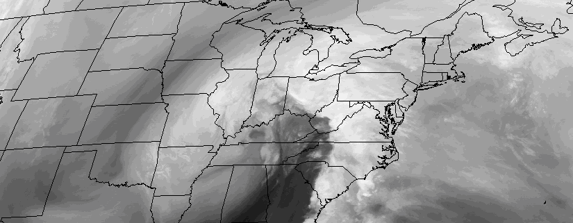
Each year, as the atmospheric pattern begins to undergo a transition and wavelengths begin to change, the threat for strong to severe thunderstorms becomes a focus of the meteorological community in New Jersey, New York and Connecticut. Spring, in fact, marks the beginning of “Severe Weather” season in our area — which generally has been known to begin on May 1st. There are obviously severe thunderstorm events outside of that date, but in general the most consistent potential for organized severe storms begins in May and ends in August or September.

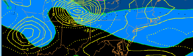
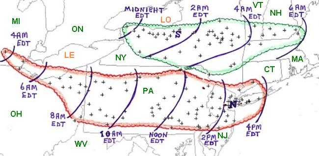
Interestingly enough, severe thunderstorms feature some terminology and atmospheric interactions which can be very confusing not only to interpret as meteorologists, but to understand on the public level. Knowing the basics of how organized thunderstorm events develop, and how forecasters attempt to predict and quantify their potential, will help to make things a little less confusing when severe weather season comes around this year.

Read more

Heavy rainfall, thunderstorms, gusty winds possible tonight

A large deep low, which has been producing some severe weather and tornadoes over parts of Deep South over past few days, will be heading northward into Eastern Ohio Valley today. This storm will send a cold front northward through the Mid-Atlantic region this afternoon and evening.

Ahead of this front, positive vorticity advection, strong jet streak forcing and instability will be increasing. A convective or forced squall line is likely to develop over Central Pennsylvania southward into Virgina, with torrential downpours and gusty winds  near the low. Further south there is potential for more severe weather and tornadoes with greater instability. The Storm Prediction Center has issued large area of enhanced and moderate risks for parts of Virgina North Carolina, with slight and marginal risks further up and down the East Coast.

Read more

Heavy rain, thunderstorms transition into crisp weekend

Southwesterly winds have ushered in a warmer, more humid airmass this Friday morning. Temperatures are running in the mid 60’s throughout the area with low clouds and fog in the valleys and even some of the higher elevations of Northern NJ and Southeast NY. The southwesterly flow will continue to build into Friday afternoon, ahead of an approaching cold front. The warmer, more humid air will lead to increasing atmospheric instability by later this afternoon.

This instability, expanding from Southeast Pennsylvania into New York, will briefly align with favorable atmospheric shear parameters as a cold front approaches from the west this afternoon. In this area, a few strong to severe thunderstorms are likely moving from west to east through New Jersey, Southeast New York, Connecticut and potentially the NYC Metro Area.

Read more

Labor Day ’98, New York City’s encounter with a derecho

September 7th, 1998 began with unusually warm and humid air throughout much of the Northeast United States. A southerly flow in the atmosphere had advected high dew points and unstable air farther north than normal — and much of the Northeast was experiencing late summer heat. The southerly winds were being aided by a developing trough to the northwest, over Southeastern Canada.

This trough and associated surface low pressure system would become the spark to ignite thunderstorms that would eventually race from Southeast Canada, through New York City, and off the coasts of New Jersey and Long Island. Impressive wind fields located throughout the Northeast US would support the development organized thunderstorms, capable of producing widespread damaging winds and a few tornadoes.

An overview of both derecho’s, with severe wind reports and a timeline. Courtesy, Storm Prediction Center/NOAA.

Read more