Weekly Planner: We live in the tropics now

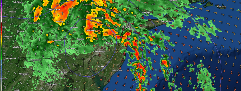
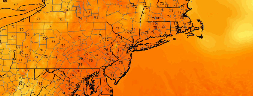
It’s warm, it’s humid, and it’s going to rain a lot. Welcome to the tropics.

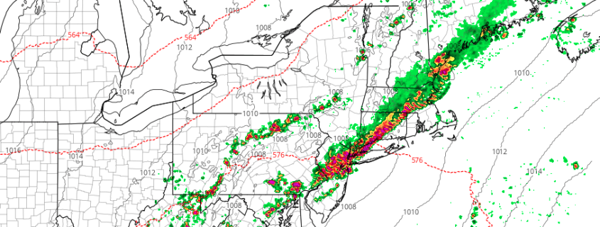
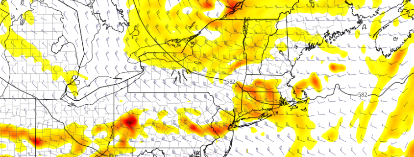
A deep southeasterly flow (which, not coincidentally, draws air parcels directly from the tropical Atlantic into the Northeast) has established itself over the past 24 hours. Dew points have increased and so has the moisture content in the atmosphere, and with a frontal boundary draped from the Mid Atlantic into the Northeast states, showers and thunderstorms have been common during the afternoon and early evening hours.

Read more

Weekend Planner: Unsettled Weather with Saturday Night Coastal Storm

Good evening! After some beautiful weather over the past few days, more unsettled, wetter and muggy weather is likely again this weekend. This comes as a large upper-level low moves into the Ohio Valley and a coastal slow.  develops and moves northward along the Eastern Mid-Atlantic region. It may not be good day to go down the New Jersey or Delmarva shore on Saturday, as they will likely be some rough surf with some more rain arriving. But neither Saturday nor Sunday will be a complete washout for the much of Northeast or Mid-Atlantic, as the coastal storm should move progressively.

Read more

Weekly Planner: Strong T-Storms & Heavy Rainfall Likely Later Today

Good morning! There is increasing potential for some heavy rainfall and strong to severe thunderstorms later this afternoon and evening, as a cold front approaches. Before that though, it will be just be hot and humid with high temperatures reaching the mid-upper 80s or lower 90s over the urban I-95 corridor, with more sunshine into at least early this afternoon. It will be a little cooler, with sea-breezes later, closer to the shore. But southerly winds will continuing to transport tropical moisture into the area, with dewpoints in the lower to middle 70s. This will lead to heat index values in the middle or upper 90s, again this afternoon. Thus a heat advisory continues for Northeast NJ and NYC for today.

Read more

Weekend Outlook: Warming Trend & Scattered T-Storms in the Northeast

Happy Friday! Overall a pretty decent summer weekend is on the way for outdoor plans, with just a little more heat and humidity. But there may some isolated or scattered showers and thunderstorm by Saturday night or Sunday, that you may take cover for briefly.

First for today, mostly sunny skies are expected, as high pressure remains in control. But it will begin shifting offshore, winds become more south-southeast. This will allow areas just inland to reach the middle to upper 80s, while areas near the coast remain a little cooler.  A beautiful warm evening is on tap, then partly cloudy skies are expected overnight, as a warm front with some showers passes well to north of the region. Lows overnight will be in the upper 50s over the Interior to upper 60s or around 70 over urban areas. Read more