Posts

Tuesday begins transition into cooler pattern

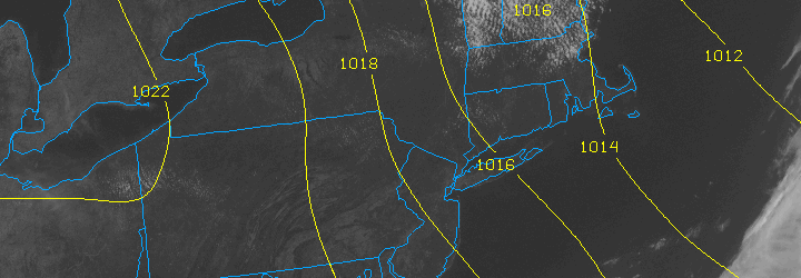
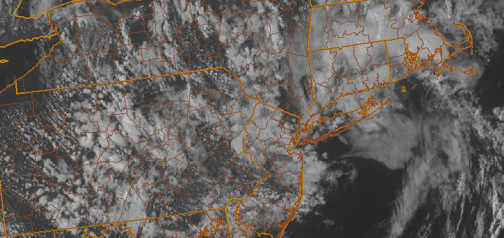
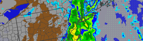
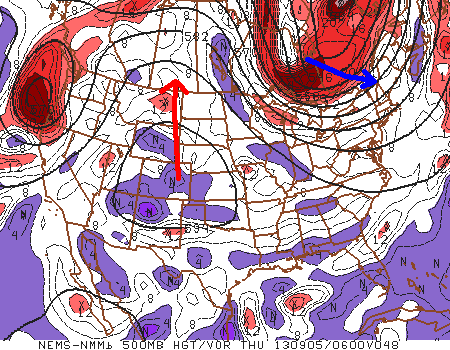
Meteorological Autumn began September 1st with a warm, humid and unsettled weather pattern. Now, after just a few days, some significant changes are on the way. A cold front is shifting eastward off the Mid Atlantic and Northeast coast early this Tuesday morning, with some isolated showers and thunderstorms (one severe-warned storm on Long Island) possible on the Island and into Southern New England. For the rest of the area, a cloudy and drizzly start will give way to clearing skies by later this afternoon, as well as lowering humidity. The front is being driven off the coast by a mid level disturbance over the Great Lakes, which will be shunted eastward by another stronger disturbance over Southeast Canada. This feature will become important for us by later this week, as it ushers in a very cool airmass.

NAM model's forecast temperatures at the 850mb level in the Northeast US this coming Friday morning. Notice the values near or below zero over New England, and cold values extending as far south as NYC.

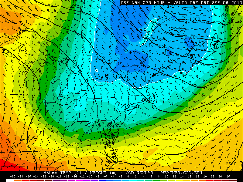
NAM model’s forecast temperatures at the 850mb level in the Northeast US this coming Friday morning. Notice the values near or below zero over New England, and cold values extending as far south as NYC.

A mid level ridge spike over the West-Central United States will allow a cutoff low over Eastern Canada to drop east-southeast, and the core of a cool airmass will clip the Northeast US later this week. Forecast models are indicative of 850mb temperatures dropping into the single digits by Thursday and Friday, with near or below 0 C readings over New England. Pleasant weather is expected, with plenty of sun, but it will certainly feel like autumn late this week.

Forecast high temperatures this week begin in the 80’s (Tuesday), but fall into the 70’s by Thursday and Friday, with overnight lows falling dramatically Thursday Night and early Friday morning, when some interior locations could fall well into the lower 40’s. With that said, the forecast looks pleasant with minimal rain chances moving forward.

Cooler, pleasant weather behind cold front

The warm and humid airmass from this past weekend is a distant memory this afternoon, as cooler air with lower dew points has settled into the area. A refreshing northwest breeze will continue for the remainder of the day with high temperatures around average in the mid 70’s. The trend is expected to continue through the middle of the week, with more sun and slightly warmer temperatures on Wednesday — but not hot or humid at all.

Not all of the news is good, however. The forecast takes a bit of an unsettled turn by late Thursday and Friday and may become quite ugly by the weekend as a tropical moisture feed extends up the East Coast of the United States. Forecast models are showing a trough sinking through the Ohio Valley and Northeast by the weekend, with showers becoming likely with periods of heavy rain also a possibility if a weak surface low pressure system can form offshore.

We’ll keep a close eye on it as the week goes on, but for now enjoy the beautiful weather! Remember to check our social media accounts for frequent updates.

PM Update: Warm, stormy end to the work week

Unsettled weather has gripped the area over the past day or so — after a prolonged period of pleasant and dry weather. Over 2 inches of rain fell in New York City on Wednesday as an upper level low moved near the area and moisture streamed into the area. Thursday featured some rain as well, but it was more spotty and scattered as opposed to the synoptic type heavy rain which fell along the warm front Wednesday. The forecast will remain unsettled through the end of the work week and into the weekend, but a warming trend will also be noticeable. This will be especially true on Friday, ahead of a cold front, when temperatures could warm into the upper 70’s to lower 80’s throughout much of New Jersey towards New York City.

The catch, however, will be the disturbance approaching aloft — and the cold front approaching at the surface. Showers and thunderstorms will become scattered by Friday afternoon over Pennsylvania and Western New Jersey and could move into the area overnight Friday into Saturday. Although Saturday will likely be warm as well, thunderstorms and periods of rain appear likely with the frontal boundary near the area. The Storm Prediction Center has placed the area in a 5% risk of severe thunderstorms (a tier below the 15% that would trigger a “Slight Risk). Clearing is expected by Sunday with colder temperatures moving into the area behind the front.

Stay tuned over the next day or so for updates on the approaching disturbance and cold front, as well as any potential thunderstorms and associated watches and warnings.

For a day-by-day breakdown of the forecast, check out our Forecast Brief. If you’re looking to get more details and technical reasoning, check out our Technical Forecast Discussion. Have a great night!

Clouds, showers expected through Tuesday PM

NAM model showing heavy rain impacting the area Tuesday afternoon and evening along a cold front. Clearing is expected behind the front by Wednesday.

NAM model showing heavy rain impacting the area Tuesday afternoon and evening along a cold front. Clearing is expected behind the front by Wednesday.

Ahead of an approaching cold front, clouds and showers are expected to become more numerous throughout the area beginning late this Monday evening. Despite warm temperatures aloft (thanks to a mid and upper level ridge), southeast winds at the surface will keep the air cooler and damp through most of the area ahead of the approaching front. Low clouds and drizzle are a possibility throughout most of Tuesday. However, there is an isolated chance of some peaks of sun by Tuesday afternoon as winds turn more southerly. This usually occurs directly ahead of the front, so it will be short lived. A period of steady rain is likely Tuesday afternoon and evening as the front crosses the area from west to east, beginning in Western New Jersey and eventually making its way through NYC and Long Island.

Behind the front, winds will quickly shift from southeast to northwest with temperatures dropping accordingly. The new colder airmass will settle into the area by Wednesday with highs in the upper 40’s, but cold northwest winds keeping it chilly. The blustery west-northwest winds are expected to stick around through the end of the week — so enjoy the warm air while it’s still here!

Tonight: Mostly cloudy with a slight chance of drizzle. Lows in the lower to mid 40’s throughout most of the area, a bit warmer near the coast. Southeast winds 10 to 15 miles per hour.

Tuesday: Mostly cloudy with rain likely. The rain may be heavy at times. Highs in the mid to upper 50’s. Southeast winds turning southerly around 20 miles per hour.

Tuesday Night: Mostly cloudy with rain likely early, then clearing. Lows in the upper 30’s to lower 40’s.  Southerly winds turning west-northwest around 20 miles per hour.

Wednesday: Mostly sunny with a slight chance of showers. Cooler, with a high in the upper 40’s. Blustery northwest winds around 20 miles per hour.