Posts

5.28 PM Zones Update: Memorial Day Rain, Unsettled Weather Pattern Continues

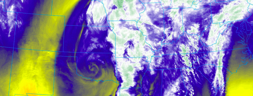
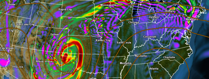
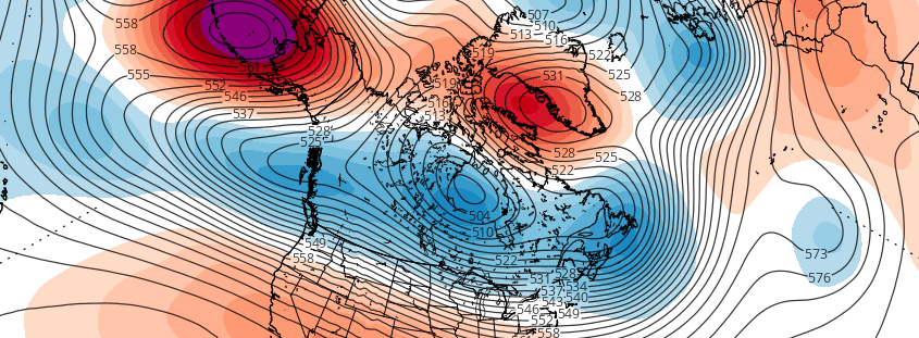
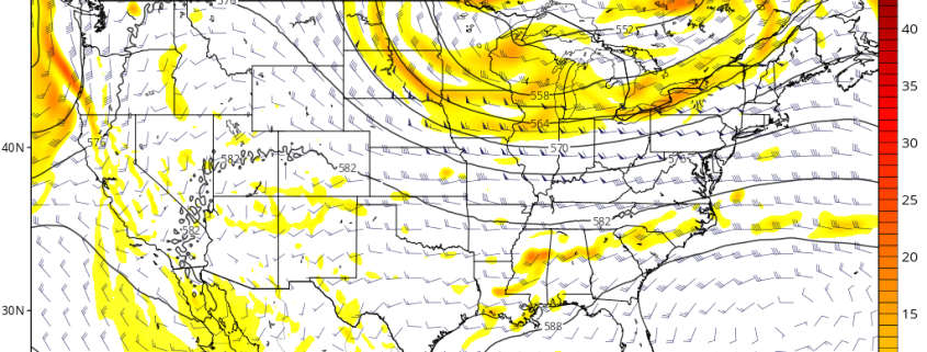
Good evening! We hope you’ve been enjoying you’re the weekend so far. Despite some cloudiness at times, the weather overall has been decent. A complete washout is still not expected for Memorial Day. However, more inclement weather appears to be in store, as frontal  system impacts the region. Especially during the morning hours. Overall an unsettled weather pattern will continue this week, with more chances of rain. We break down some details on the forecast for Memorial Day and the rest of the week. Also discuss a little bit about any pattern changes coming in the couple weeks!

Read more

3.25 AM LR/AG: Wet, active pattern still likely to develop

Good morning! While Saturday mornings are a bit more quiet for our AG/Long Range friends — we didn’t forget about you! Hopefully you’re able to grab a cup of coffee and enjoy a quick discussion with us. Our article this morning will be a bit shorter, as we briefly detail some updates and the latest information we’re analyzing on the pattern ahead. The pattern change we have been discussing for a few weeks is already underway.

Yesterday we spoke at length about the upcoming pattern and why we believe it will feature more active, stormy tendencies across the Plains and the Central United States including the Southern and Central Corn Belt. Not much has changed with our current thinking moving forward over the next week or two. As we move into the upcoming weekend, multiple storm threats will have already evolved across the Central United States.

Read more

3.23 LR/AG: Active pattern with multiple severe weather chances

A happy Thursday evening to you all! We hope you’ve had a wonderful day and are sitting down to read and chat with us regarding the upcoming long range weather pattern. We’ve got a lot to cover and will do our best to lay it out in an understandable and explanatory format. For a few weeks now, our forecasters have been discussing a change to the atmospheric pattern across the Northern Hemisphere during the end of March. These changes are still likely to occur and will lead to a much different weather pattern than the one we’ve been observing over the past few weeks.

From early March up until today, the pattern over the Northern Hemisphere has been essentially altered by the presence of high latitude blocking. This is better defined as the presence of ridging, or “blocking” high pressures in the atmosphere across parts of Canada, Greenland, and the Arctic. These are critically important because they alter the atmospheric flow in those regions and dislodge cold air, usually bottled up north, further south into the USA. The presence of this blocking has resulted in a colder pattern, particularly across the Northeast, in March.

Things are about to change.

Read more

Mid March may offer more wintry potential in Northeast

A happy Saturday afternoon to you all! We enjoy the weekends particularly because we often can take some time to dive into the details of more complicated discussion. In this case, we don’t have to look much further than the medium range weather pattern to find a complicated, convoluted evolution in the atmosphere. Over the next few weeks, the pattern will be changing quite dramatically in the higher latitudes — or the latitudes near the arctic and polar regions.

Blocking ridges of high pressure, more affectionately known as “blocks”, are forecast by multiple models and ensembles to develop — both on the Pacific and the Atlantic sides. The Atlantic blocking, from Greenland into Northern Canada, is the most significant for residents of the Northeast United States. Exactly how this blocking develops will determine when and where opportunities for cold and snow will arise.

Read more