Posts

5/8 AM Zones Update: Cool Weather Week, Potential Weekend Coastal Storm

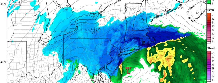
Happy Monday! It’s been chilly with some sunshine has been this morning. But an large, anomalous cold upper-level low continues to linger over the northeast today. This will cause the atmosphere to become more unstable, with more daytime heating. So more clouds will likely increase again this afternoon, with some isolated or widely scattered showers around. These should be mostly on light side however, with very limited lift and moisture overall. Temperatures will be cooler than normal today with highs in mid-upper 50s to around 60 in most spots.

Read more

FREE 3/12 AM All Zones Update: Blizzard Likely Late Monday Night and Tuesday

A very cold airmass with well below normal temperatures continues to be over the region over the next few days. Today (Sunday), some instability in the atmosphere will cause some clouds to mix with sunshine with a few flurries possible again. But winds are expected to be lighter out of the northwest. So it won’t feel as harsh as yesterday. Temperatures should rise into the upper 20s to lower 30s. Overnight lows tonight will be the single digits and lower to middle teens over the region, as high pressure sitting overhead and calming winds support ideal radiational cooling conditions. On Monday, high pressure over will support plenty of sunshine during the morning hours. Then more high clouds will start increasing during the afternoon from the southwest. High temperatures will be a little warmer in the low to mid 30s.

Read more

1/24 PM All Zones: Lingering rain, clearing late tonight

As expected, showers and periodic steady rain lingered throughout much of the area today. This was most prevalent in Northeast NJ, NYC, Long Island and Connecticut, where the bands of rain pivoted westwards from the Western Atlantic Ocean inland. The potential for rain will continue for a few more hours, likely into the early evening, as the surface low pressure meanders offshore.

Much of the banding is being enhanced by frontogenesis, or lift, in the atmosphere’s mid levels. Mid level low centers are still only a few hundred miles off the coasts of New Jersey and New York, and lingering dynamics and moisture are juxtaposed to support bands of rain moving inland. Over time, these dynamics will wane, especially during the early to middle part of the evening.

Read more

Nor’easter likely to spare our area major impacts this weekend

After a few days of concern, forecast models have trended more progressive and weaker with a Nor’easter which will pass off the coast of the Mid Atlantic and eventually New England this weekend. While models have been in good agreement that the storm itself will occur, inconsistencies have been common in regards to the exact track and intensity of the storm system. A convoluted atmospheric setup has wreaked havoc on even the most reliable forecast models.

A few days ago we highlighted the main players in the storm systems evolution. As of tonight, forecast models continue to fine tune the exact evolution of these features. Most interestingly, a lead disturbance ahead of the main storm system is now expected aid it de-amplifying the mid level height field. In simple terms, this will help to suppress the main coastal storm farther to the southeast.

Read more