-2")
Periods of heavy rain expected today
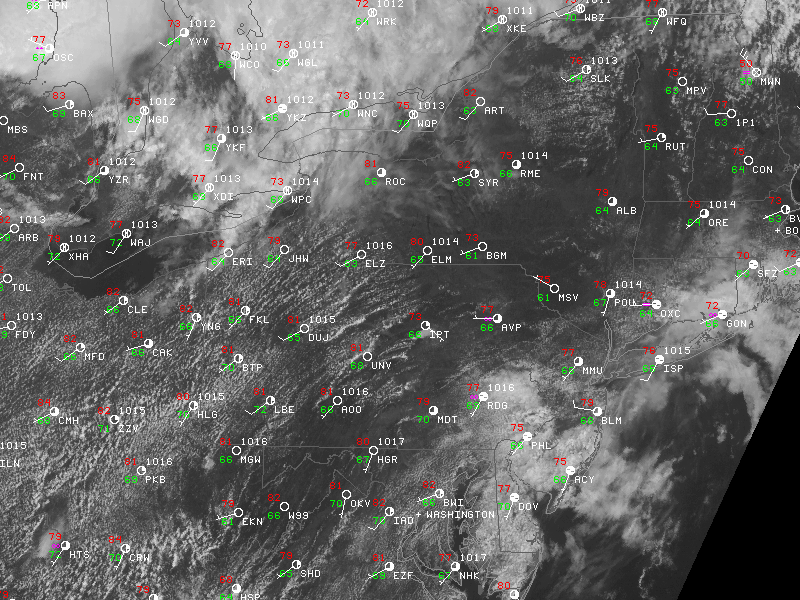
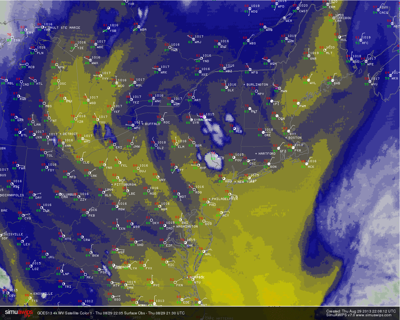
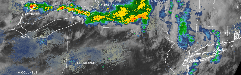
An unsettled weather pattern, which has settled into the area the second half of Labor Day Weekend, will rear its ugly head today as widespread showers and thunderstorms develop throughout the area. Areas of heavy rain have already developed early this afternoon, both over parts of New York City and also over Western and Central New Jersey. Limited instability should muddle what otherwise could have been a marginal setup for severe thunderstorms, but weak shear and lots of moisture suggest the potential for slow moving thunderstorms capable of producing heavy rain and leading to flash flooding.
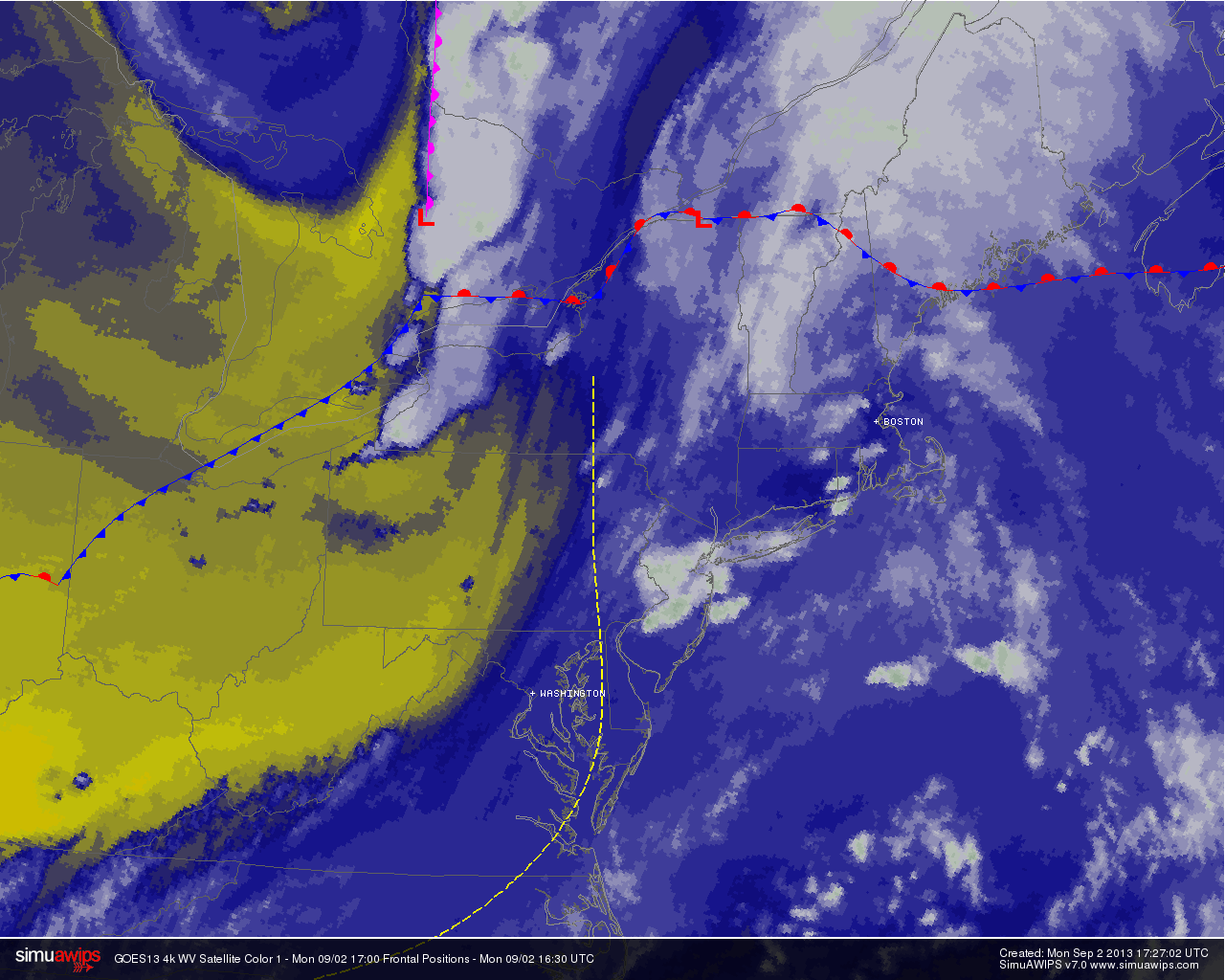
Water Vapor Satellite imagery from the afternoon of September 2nd, 2013 showing moisture streaming into the area ahead of a cold front.
The showers and thunderstorms are expected to continue through Monday evening, and may even linger into Tuesday morning across parts of the area — especially over Connecticut and on the Eastern end of Long Island. A more stable, cooler and less humid weather pattern is on the way by the middle of next week, but unfortunately Labor Day will have to be sacrificed in the process. Stay tuned for further updates including potential watches, warnings and advisories on the heavy rain and flooding potential.