Posts

Coastal storm slowly exits, active pattern continues

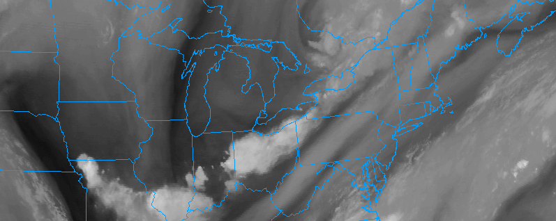
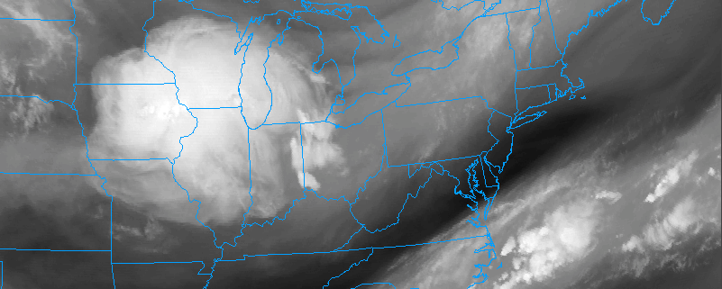
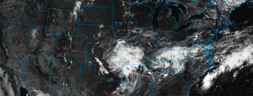
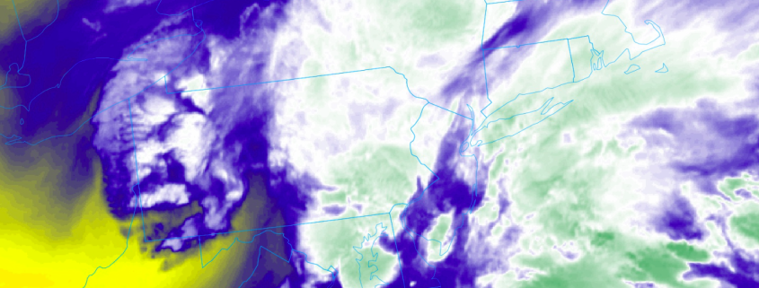
Happy Saturday morning! A large coastal storm system which brought significant, flooding rains to the Mid Atlantic states — while largely sparing New York City and New England any impacts — will gradually shift seaward this morning, bringing unsettled conditions with it. While the day will start off unsettled in some areas, particularly near the shore, things are expected to improve as we move towards the late morning and afternoon.

High pressure will then build into the Northeast states this weekend and the weather is expected to take  much nicer turn. We’ve got all the details on the weather this weekend, next week, and even a peak into the month of August as a whole in our latest video below.

Read more

AM Update: Calm start, but transitional weather ahead

Good morning and Happy Monday to you all! As you make your way out the door this morning, you’ll notice a change to the sensible weather conditions in place throughout the majority of the Northeast states. You can thank a strengthening south/southeasterly flow for that — it has replaced the cooler, northwest breeze with a warmer and slightly more humid airmass. Warmer and more humid air will advect into the Northeast states for the remainder of today.

Near the coast, these southeasterly winds have already resulted in the presence of some stratus clouds along the shores of Long Island and even parts of New Jersey — with some localized fog in other locales as well. This will burn off as the day goes on, but the progression of disturbances in the mid and upper levels of the atmosphere will bring more unsettled weather into the picture by this afternoon.

Read more

Multiple strong to severe storm opportunities this week

Happy Monday Morning to you all! We’re back in action after a weekend of lovely weather, and the day will start off quite pleasant throughout the majority of the Northeast today as well. Regional observations throughout the entire region showed dry and pleasant air in place, with dew points largely in the 50’s, especially in the higher elevations of the interior Northeast where they are even lower. After a pleasant and relatively crisp morning (we use that term loosely given the lack of a humid airmass), some changes are likely to unfold today.

Read more

Transitional weather expected to continue through the week

Happy Independence Day to all of you! While today is a day to spend enjoying with family, friends and loved ones, we’re taking a moment to look ahead at what the weather will have to offer over the coming days. The pattern over the last several days (and even the past few weeks, really) has been markedly transitional — there has been no true established pattern in terms of temperature of precipitation. As forecasters, we are often looking for changes in how the atmosphere will behave — but this pattern doesn’t show any sign of changing.

Forecast models, especially in the medium range, are in very good agreement that the weather pattern will remain progressive and transitional. Multiple frontal systems and low pressure areas are expected to impact the Northeast states, with a few days of warm temperatures followed by chances for showers and storms, and a few days of temperatures slightly below average for this time of year.

Read more