Frost and freeze conditions tonight, unsettled next week

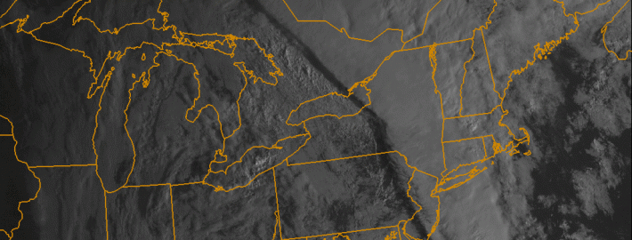
After a beautiful Saturday, a cold front charged through the region on Saturday night, leading to much colder temperatures last night and today. The airmass has that true fall/early winter “crisp” feel, as it is very cool and dry. The dry conditions along with clear skies and light winds tonight will allow temperatures to continue to plummet. Because of this, the National Weather Service has issued Frost Advisories and Freeze Warnings for much of the area. Low temperatures will be in the upper 20s to low and mid 30s for much of the region. Closer to the city, however, temperatures will remain in the upper 30s, due to the Urban Heat Island effect. Make sure to bundle up tonight and tomorrow morning!

Temperatures will rebound relatively nicely tomorrow, reaching the upper 50s to around 60 — about five degrees below average. Skies will also be mostly sunny, so tomorrow looks to be the “good” day of the week, as conditions will gradually become unsettled starting on Monday night.

Read more

Live Blog: Dangerous Gonzalo heads for Bermuda

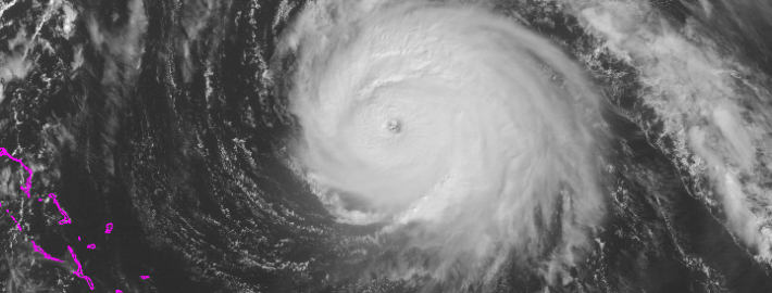
With benign Autumn weather in place throughout our area today — it actually will be a beautiful day with temperatures in the upper 60’s and lots of sun — our attention turns to Category 4 Hurricane Gonzalo, which is making a bee-line for the island of Bermuda today. Evacuations have already occurred and Hurricane Warnings remain in effect. The National Hurricane Center anticipates winds over 125 miles per hour, dangerous storm surge, dangerous surf, and widespread flooding and damage. Our live blog will update throughout the day with new information as we get it.

Read more

Gonzalo heads toward Bermuda as a dangerous Category 4

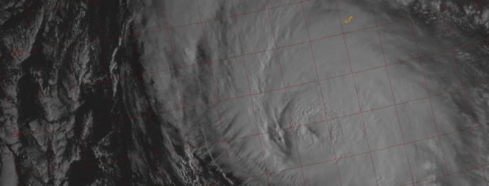
Hurricane Gonzalo strengthened into a Category 4 hurricane this morning, and has since strengthened further. Maximum sustained winds within the storm are 145mph as of 11am, with higher gusts. Most concerningly, the system continues to strengthen and organize as it heads northward. The hurricane will eventually take on a slight northeasterly heading, as it moves along the periphery of both an Atlantic ridge to its east, and troughing to its west over the Western Atlantic Ocean.

Most unsettling, obviously, is the forecast track of the system. Models are in good agreement that the storm will make the aforementioned turn, taking the center near or just west of Bermuda during the mid to late afternoon on Friday. This puts Bermuda in a precarious situation — the worst winds will shift to the east side of the system as it makes this turn. Maximum sustained winds are forecast to remain near 130 mph at the time the storm nears Bermuda.

Read more

Forecast: Clearing, cooler behind cold front

A warm, humid airmass surged into the region late on Wednesday ahead of a cold front. As expected, low level moisture moving north aided in the development of heavy rain overnight as lift for precipitation moved through our area. Rainfall totals were moderately high in many locations, but we were able to avoid widespread flooding due to the relatively progressive nature of the system. As the mid level disturbance moved northeastward, drier air moved through  much of New Jersey and toward New York City this morning bringing an end to the steady rain.

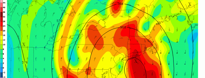
On the periphery of this mid level disturbance is a cold front, which will push through the remainder of the area this morning after some additional rains fall on Long Island and Connecticut. Gone will be the southerly winds, and making a return will be drier, westerly winds this afternoon. Mid level temperatures, meanwhile, won’t exactly fall off the table until later tonight. So high temperatures today will still reach into the 70’s.

Read more