-2")
NYC Area Forecast: Improving weather after fourth March Nor’Easter
Wow, take a deep breath!
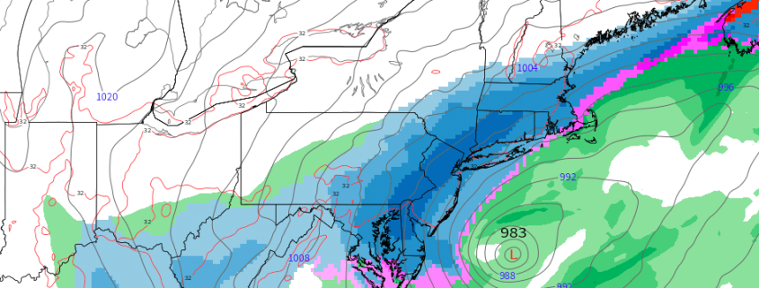
The fourth Nor’Easter in just as many weeks has finally departed the area this morning (taking its time doing so, as well) with snow lingering across many areas through the morning. This has been especially true across Long Island and parts of Eastern New England. Some extremely heavy, record breaking snowfall totals occurred across parts of the region – most specifically in Eastern New Jersey and Long Island, with snowfall totals ranging from 12-18″ (some locally higher). Unofficially, Islip, NY broke the record for March snowfall, with 2018 now the snowiest there since records began in 1964 with 27.5″.
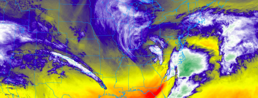
The storm system we experienced on Wednesday was, without a doubt, extremely anomalous for March. Not only was it our fourth Nor’easter this month, but is was cold. The boundary layer conditions (Where we live) were much more winter-like with this storm system as opposed to the heavy, wet snow with temperatures in the mid to upper 30’s during the others. This lead to more significant road/pavement accumulations in many areas.