Cool & Unsettled Early Week, Summer-Like Warmth Mid-Late Week

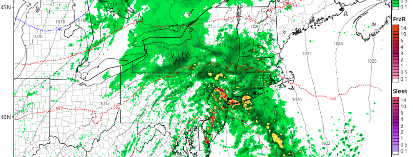
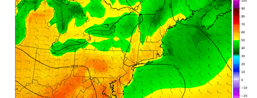
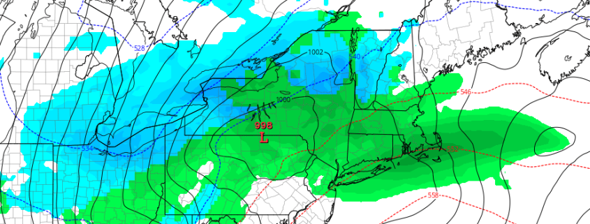
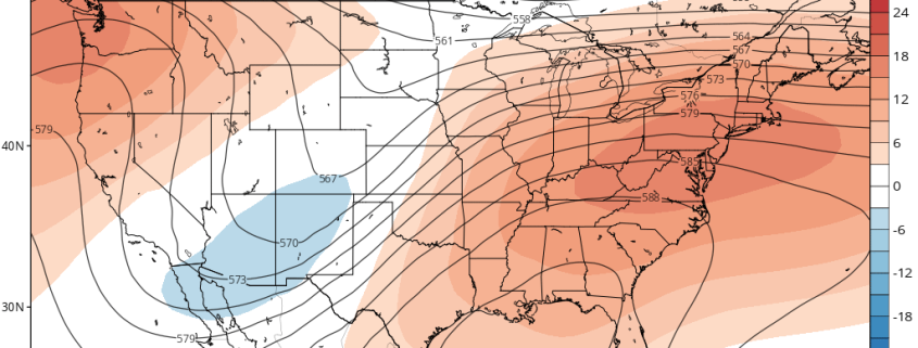
Happy Sunday! On Saturday afternoon and night, a cold front associated with an upper-level low came through the region with some showers and thunderstorms in the local region. This cold front has since moved well offshore with some clearing today. But some cooler and unsettled weather is likely, for the next couple days, as the upper-level low and begins to cut-off and slow down over the Northeast. Then a major warm up with more summer-like temperatures is still expected during the middle to later part of this week. We discuss more details for the forecast for this coming up!

Read more

Heavy Rain & T-Storms Late Tonight into Wednesday, Warmer Times Ahead?

We have had some very nice weather, since the weekend in the Northeast. Plenty of sunshine with temperatures a little cool but overall closer to seasonal levels. But some very wet weather is on the way for tonight and tomorrow, before weather pattern begins improving again for the rest of this week and into the upcoming weekend. Then finally, a warming trend with some more summer-like temperatures will be occurring next week and as move into first few days of May.
Backing up to today, sunshine this morning will give way more cloudiness this afternoon, as a cut-off low over the Tennessee Valley this morning begins moving slowly northeast. Onshore easterly winds and cloud cover, ahead of this system will keep high temperatures a little cooler today—in the middle to upper 50s near the coast. But further inland temperatures will likely get into the 60s again this afternoon. Then rain will overspread the region from southwest to northeast tonight, as the cut-low begins interacting with shortwave energy coming out the Great Lakes and moves closer to region. Temperatures will likely remain warmer in the upper 40s to middle 50s with more onshore winds and cloud cover.

Read more

Dreary Today, Pleasant Weekend Weather, Another Storm Possible Next Week

Good morning! Overall today will be dreary, with mostly cloudy skies and some rain and drizzle at times throughout the day. A batch of steadier rain this morning is associated with some with frontogenetic  forcing that is now shifting further northeast into New England. Some wet snow and sleet has also mixed in at times over far northern interior locations, such as Northeast PA, the Lower Hudson Valley and Connecticut this morning. Some light accumulations have occurred on some colder surfaces, but most roads are remaining just wet with temperatures above freezing.

Read more

Calmer Weather Returns, Some Rain Possible Thursday

Good morning! After a large storm system brought some very heavy rainfall to much of the region on Monday, the weather pattern overall looks more benign over the region — and even the entire Northeast — over the next 7+ days. There will be a few chances for some precipitation, particularly by Thursday, as another weaker storm system passes. But no major storms or significant weather-related hazards are expected.

Read more