Backdoor cold front season is here, what’s the deal?

Note: This post has been edited from its original version and refreshed for Spring 2018.

Each spring we emerge from a long cold winter with aspirations of 70 degree temperatures, a cool breeze and plenty of sun.  It rarely works out that way. Whether it be an upper level low, a stalled cold front, or a back door frontal boundary, there are plenty of meteorological events to blame for a cold and damp spring in the Northeast states. The fact of the matter is, the Northeast is a difficult place to be during a transition season. The changing and morphing wavelengths of the mid and upper level ridges and troughs mean the potential for cutoff lows, and the colder ocean waters(this time of year especially) will wreak havoc on any warmup.

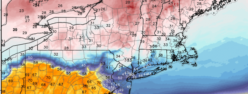
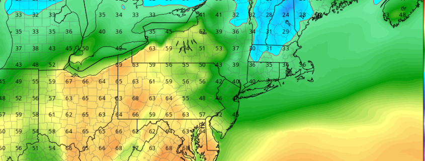
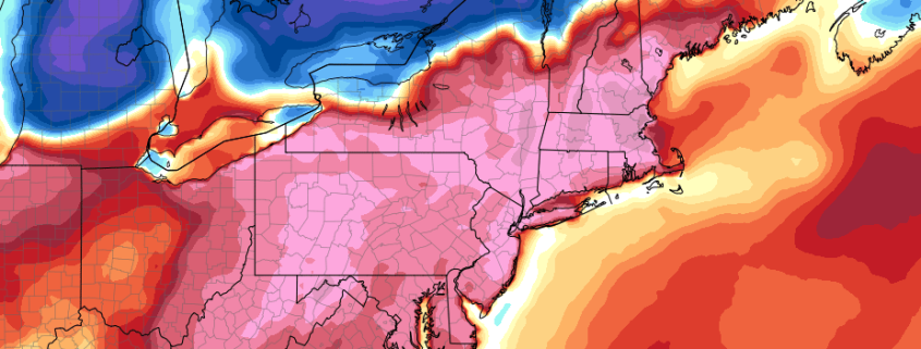
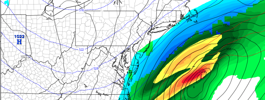
This weekend, we will once again revisit the science behind a back door cold front. A significant low pressure system is developing through the Central United States today, with the severe weather likely from the Plains into the Mississippi Valley and Southeast states. Meteorology tells us that a warm front should be surging north from the Mid Atlantic states into New England as this low pressure moves towards the Great Lakes, with southerly winds ramping up warm air south of the  front. But forecast models suggest the front will only progress so far before it begins a dramatic retreat back south. Why? The answer lies in the setup both aloft and at the surface, and it leads to the development of a backdoor front which will push the warm air back to our south late Saturday into Sunday.

Read more

Much Warmer Late Week, Cooler & Wetter Sunday & Monday

Wednesday’s Weather Rating | 6/10 (Fair)

Good morning! We come bearing good news. Temperatures will begin moderating closer to seasonable levels over the next couple of days, which will lead us to very warm temperatures on Friday and Saturday. High temperatures may approach 80 degrees in many areas for the first time this year! By Sunday, however, much cooler air is likely to return, as a backdoor cold front moves to the south from New England. Another large storm system threatens to bring the region heavy rainfall by Sunday night and Monday.

Read more

Spring weather finally on the way later this week

Monday’s Weather Rating | 5/10 (Fair)

At long last.

Forecast models have come into agreement on a pattern evolution that will support Spring-like weather throughout the Eastern part of the United States later this week and into this weekend, as a strong storm system develops in the Northern Plains states and then ejects northeastward towards the Great Lakes. A frontal boundary will shift eastwards into the Plains and eventually the Mississippi River Valley, but the amplified storm to our west will draw in Southerly winds and bring warm, moist air northward.

It won’t come without the need for some patience, as the beginning of this week has already started off very cold. Temperatures are well below seasonal averages and will remain there for the next few days with a cold high pressure overhead. A weak disturbance shifting by on Tuesday may even prove sufficient to produce rain and snow showers across the region – with snow particularly possible in the interior and higher elevations of New Jersey, Pennsylvania, and New York.

Read more

Unsettled Weather into Saturday, Snowstorm Threat Decreases

Good morning! It’s been very active since the first week of March, with high-latitude blocking and anomalously cold air resulting in late season snowstorms for the Northeast states. April 2018 will wind up being one of  the snowiest for many of the local climatology sites. However, it appears that we might be getting a break (finally) with the next few storm systems this weekend and early next week developing over the Eastern US. Read more