-2")
NYC Area PM Update: Unsettled evening, shot of Autumn air awaits
It’s been nice this week, with lower humidity and minimal rain chances since Monday – owing mostly to a high pressure that has filtered southward from New England. The reign of this lovely high pressure will end this afternoon (it has already ended, if you haven’t noticed the clouds) and another disturbance will approach the northeast states. A warm front is already moving northward from the Mid-Atlantic states as we speak — err, type.
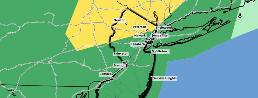
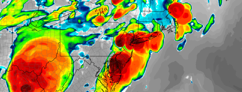
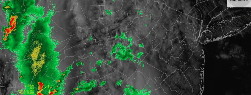
Some of the thunderstorms developing near and along the warm front have been strong and severe this afternoon, acting upon weak to moderate atmospheric instability. This threat will continue for a few more hours into Southern New Jersey. We always advocate for being careful along warm fronts – they create extra low level shear in the atmosphere that can sporadically strengthen storms. So we will be watching!