-2")
NYC Weekly Planner: Hot hot heat, humidity and storms
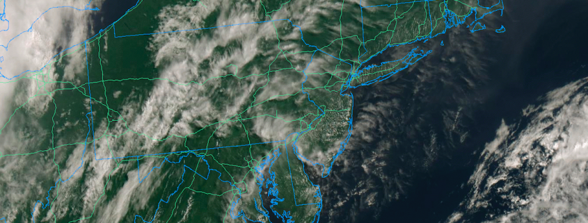
Welcome back to summer. After a few glorious days of temperatures in the 80’s and low dew points, the southerly flow is back – and it is bringing warmer, more humid air with. High pressure remained in control for most of the weekend, which was undoubtedly a nice change. But clouds have increased this evening and will continue building through the overnight. There may even be an isolated shower or two tonight.
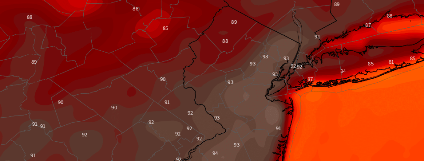
The real change comes on Monday, as the advection of a very warm airmass truly begins. A large ridge will build into the Northeast in the mid and upper levels of the atmosphere, helping to push in the warmer airmass. High temperatures are expected to reach into the upper 80’s, but dew points will increase notably and the airmass will feel much more humid. There is the chance for a few isolated showers or storms during the afternoon.
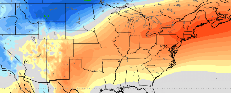
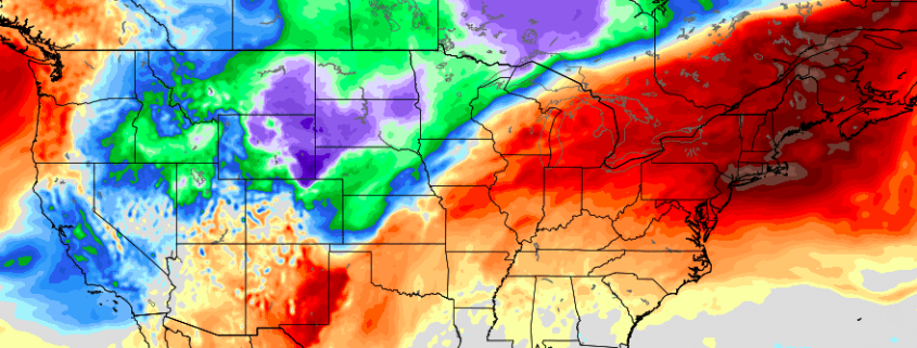
Tl;dr: Trending hotter Monday, hot as all ever-loving heck on Tuesday, Wednesday and Thursday, storm chances increasing from Thursday into the weekend with the potential for lots of storms Friday and Saturday.