NYC Area Forecast: Pleasant, cooler weather returns this weekend

The Brief: Flooding rains are gone, the weather improves today. Calm, autumn-like weather this week. Warming trend begins next week with temperatures running well above normal by the mid and end of the week.

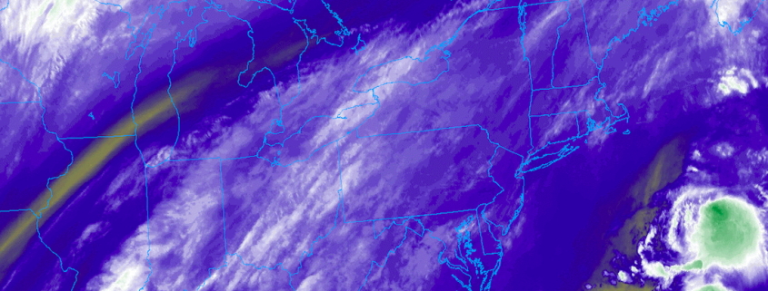
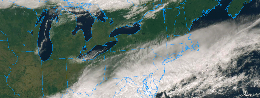
Flooding rains moved through the area this morning as a low pressure system formed near the coast, and for many areas the heavy rainfall simply exacerbated issues that already existed as a result of heavy rain over the past few weeks. The heaviest rain will continue to shift away this morning, moving through Southern New England and then off the coast. As it does so, cooler and more pleasant weather will gradually take over.

Read more

NYC Area Forecast: More rain likely tonight into Friday morning

The Brief: Heavy rainfall is likely tonight into Friday. The NWS has issued a Flood Watch for a large majority of the Mid-Atlantic into New England. Localized flooding is a distinct possibility. The weather clears up for Friday and the weekend.

A forecast that once looked pleasant during the latter half of the week has turned unsettled, and you can thank the upper level jet stream (among other things) for that. Instead of cool, crisp air and sun, the end of the week will feature a period of heavy rainfall from late Thursday night into Friday as another low pressure system develops offshore and sends moisture surging up the coast.

Previously, forecast models had suggested that the rainfall would remain well offshore and that any impacts would be periodic and/or non-impactful. As recently as Tuesday, however, hints began to emerge that the forecast was changing. Forecast guidance was tweaking the orientation of the upper level jet stream, and the trends were a tip-off to the fact that the forecast late this week was about to take an ugly turn.

Read more

Multiple disturbances, unsettled weather likely this week

Welcome to Autumn! Although meteorological Autumn began on September 1st (which, if you ask us, is still a more accurate demarcation line for the season), Autumn officially began Saturday Night at 9:54pm. The weather cooperated quite a bit, as well, with a beautiful day on Saturday throughout much of the Northeast states. Behind a frontal boundary, skies partially cleared and drier, less humid air moved in.

You may have noticed that the weather this morning is quite a bit different. The frontal boundary which moved through Friday barely sunk far enough southward into the Mid-Atlantic, and as a disturbance rode along it this morning it has moved further north once again. This has left many areas in the Mid-Atlantic, including parts of Southeast Pennsylvania and New Jersey, dealing with rain once again. Clouds have streamed into New England as well, with only Northern New England escaping and enjoying some sunshine.

Read more

NYC Area Forecast: Unsettled weather continues as Florence stays south

Good morning! Over the next few days, a large upper-level ridge will be building into the area from the Western Atlantic Ocean. Ridges like this would typically support the return of hot and humid conditions, but the area is sandwiched between high pressure to the north and Hurricane Florence off the Southeast US coast. As a result, an onshore flow has persisted and a frontal boundary has lingered over the region. This has lead to unsettled and muggy weather, which will continue into the weekend before high pressure takes over.

Read more