-2")

Heat returns to East, but active pattern awaits
The remnants of Hermine are still hanging around, off the coast of New Jersey and south of Long Island this afternoon. The system, in fact, has drifted farther south today than it has been all week — much to the ire of meteorologists and forecasters up and down the East Coast. Nevertheless, the storm will begin to have a lessening impact on our areas weather as the days of this week go on. The system is vertically stacked, at all levels of the atmosphere, meaning it’s cut off from moisture and lift sources.
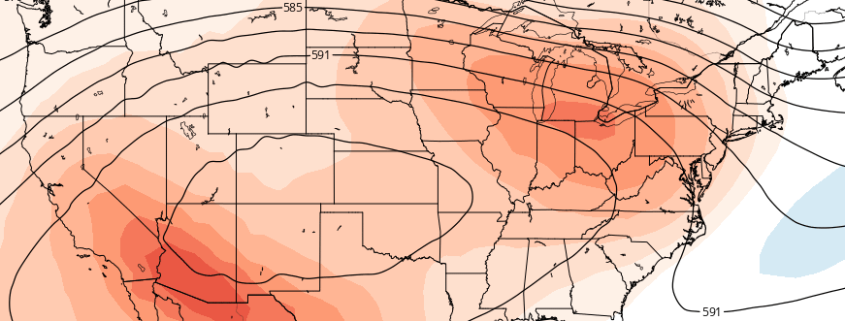
Accordingly, the storm will fade out slowly over the next 24 to 48 hours, with only momentum carrying its circulation. As it does so, a large mid level ridge will build across the East Coast and Western Atlantic, as we have seen several times already this summer. This pattern looks to remain in place through the weekend, when temperatures will again approach the 90’s in many areas.