FREE 1/30/17 AM Zones 4/5 (Southeast NJ) Update on Light Snow

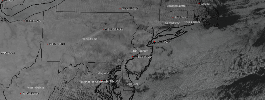
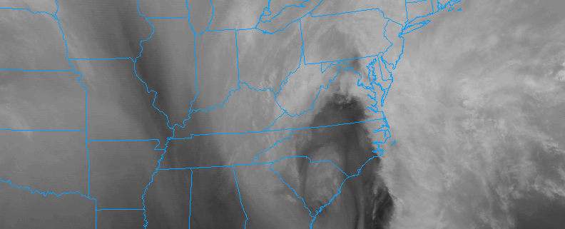
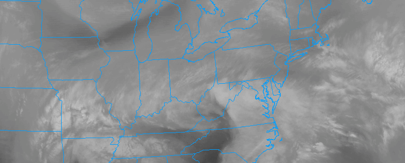
Regional mesoscale analysis this morning revealed a small, weak area of low pressure near the Delmarva shores drifting gradually northeastwards into the Atlantic. As expected, this low pressure area is developing as a result of a favorably positioned disturbance in the mid levels of the atmosphere, and is also aiding in the development of bands of snow over Southeastern NJ at this hour. This low pressure is expected to continue to track east/northeast over the next few hours.

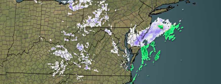
Local observations and radar analysis confirms that steady or accumulating snow is struggling to make northward progress throughout the state, with banding settled over Cape May, Atlantic, and Southeast Ocean counties. This banding is occurring as a result of enhanced lift in the atmosphere, which works to produce steadier and heavier precipitation. This lift is being enhanced by temperature gradients and wind gradients in the atmosphere, with frontogenesis at the 850mb level (about 5000 feet above your head) aiding in its development.

Read more

1/27 PM Zone Update: Gusty, return to seasonable conditions this weekend

Today has been yet another cooler departure from the previous few days as much of the region is currently experiencing mostly cloudy conditions with some disorganized snow showers moving through the eastern areas of Pennsylvania and southern New York. These disorganized squalls have made some progress into central and southern New Jersey, but ultimately will have a limited impacts for the New York metro this afternoon and evening. Downslope flow and drier air work to keep these squalls on the lighter side and confined mainly to the north and western regions. However it is important to note that some of these bands could work their way down later this afternoon and produce reduced visibility as well as slippery roads for some folks in the area, so it is important to remain alert during the afternoon commute.

Otherwise, the main focus for the rest of today will be the gusty winds of around 20-30 mph affecting most of our area which can be attributed to a large low pressure system over eastern Canada. The locally higher areas of winds can be seen in the latest visible satellite imagery as ripples in the overall cloud pattern. As temperatures once again drop down this afternoon to the upper 30’s, we should begin to see the winds diminish and gradually die off once we head into the evening hours. Any remaining squalls and the mostly cloudy conditions should also depart this evening as temperatures fall into the middle to low 30’s for most of the area, with upper 20’s possible in the outlying regions.

Read more

Public Analysis: Strong Nor’Easter brings a myriad of impacts today

A well discussed and documented Nor’Easter will develop later today from the Mid Atlantic states to the Delmarva coast, bringing heavy precipitation and a myriad of hazardous weather to the area which will continue through Tuesday. The low pressure area, currently located over the Central Mid Atlantic States, will continue shifting northeast today with precipitation, mostly in the form of rain, shifting northward. This afternoon, the situation becomes more complex as the storm moves off the Delmarva coast and begins strengthening.

This developing offshore low pressure will be quite impressive — and will bring various types of hazardous weather to different geographic locations this afternoon and evening. Wintry weather is possible in the interior and higher elevations, heavy rain is likely area-wide, coastal flooding and strong winds are likely near the coast.

Read more

Public Analysis: Heavy rain and strong winds likely on Monday

A large storm system will develop throughout the Eastern United States on Monday, organizing first in the lower Mid Atlantic region and then shifting northeastwards. A large upper level low will form in the atmosphere, with impressive atmospheric dynamics shifting from the Southeast states up the East Coast. The dynamics of the storm are impressive: A High Risk of severe weather has been issued by the Storm Prediction Center in Georgia and Florida today.

Gradually, a surface low pressure is forecast to develop from the Delmarva coast northeastwards off the coast of the Mid Atlantic. A large area of moisture will surge northwards up the East Coast, with significant lift in the atmosphere tapping into this moisture and aiding in the development of very heavy rain. Rainfall totals of 1-3″ are possible — with some flooding in low lying and poor drainage areas.

Read more