-2")
Severe thunderstorms again today, Arthur a ‘Cane
Severe thunderstorms rocked the NY/NJ area on Wednesday evening, owing to rich tropical moisture and strong atmospheric instability. Behind storms of that nature, typically, the airmass becomes less humid, cooler and drier. Thursday will be atypical in that sense, as tropical moisture will actually increase once again. Rising dew points and humidity values will continue — and temperatures in the 80’s and 90’s are expected again by early afternoon. And, again, an approaching mid level disturbance is expected to aid in the development of strong to severe thunderstorms by afternoon.
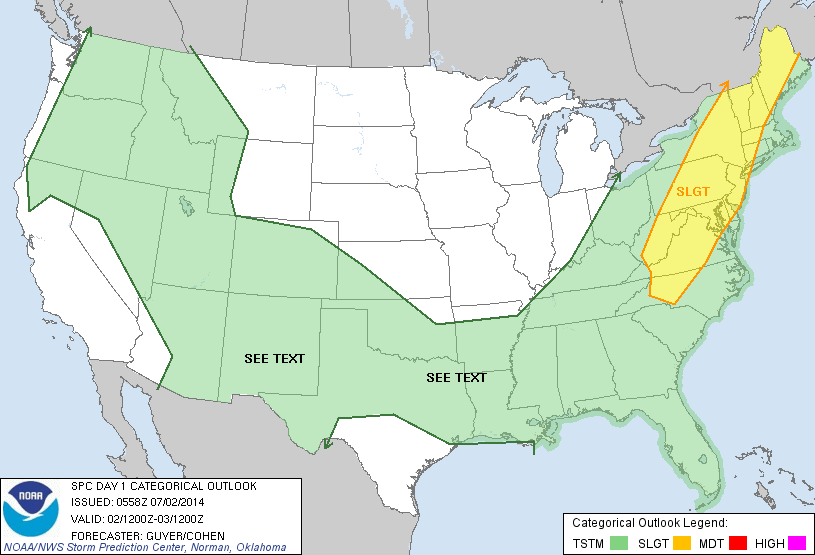
Storms will progress from southwest to northeast, initially forming in Pennsylvania and making their way through New Jersey. As was the case on Wednesday dangerous lightning, flash flooding, strong winds and small hail are all possible in strong to severe thunderstorms that do develop. The National Weather Service has issued a Flash Flood Watch for much of the region, and the Storm Prediction Center has placed the area in a Slight Risk for severe thunderstorms through this evening.
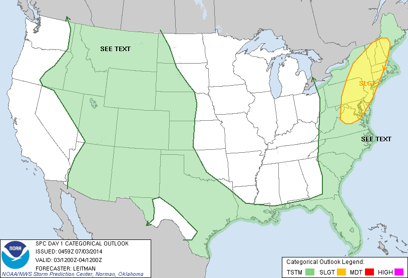
Todays Day 1 Outlook from the Storm Prediction Center showing a Slight Risk near our area.