-2")

Wednesday Overview: Hermine still hanging around
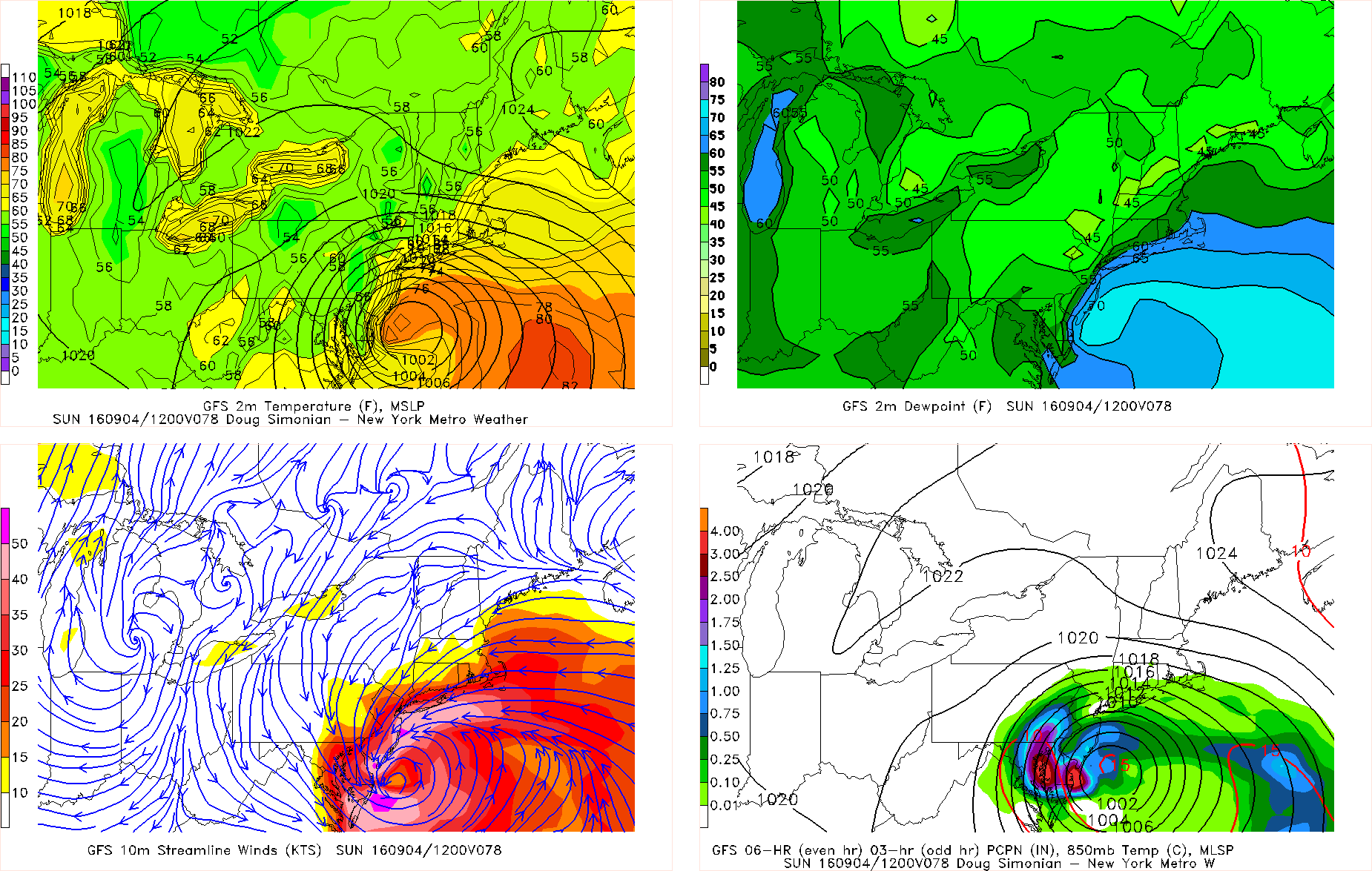
You may have noticed some periods of squally, windy showers last night. Yes, that was actually from Hermine (or the remnants of it, anyway) — the system that we all just want to go away keeps finding a way to hang around. A blocking pattern captured the storm and allowed it to come back towards the area, fortunately in a much-weakened state. But the weakening and transition to extra tropical in nature allowed some rain bands to expand away from the center of the storm, and back in to our area from the east.
The same general theme will continue on Wednesday, though with the storm continuing to weaken, the rain bands will be lessening in coverage. Some day-time heating may still try to enhance a few rain bands, but they will continue to be isolated to scattered in coverage and there may not be much at all west of I-95. We may see breaks of sun again — particularly for inland areas — as a large ridge builds into the area. This large ridge would be giving our area a heatwave had it not been for Hermine.


