-2")
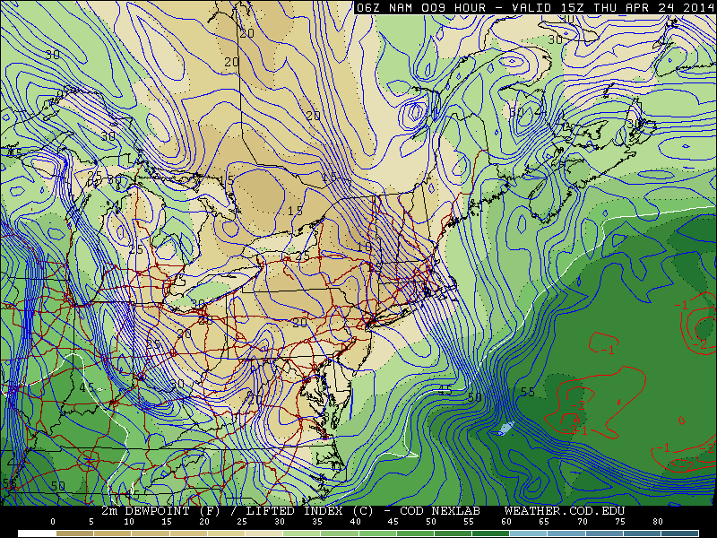
Flooding rains give way to storms, warmer air
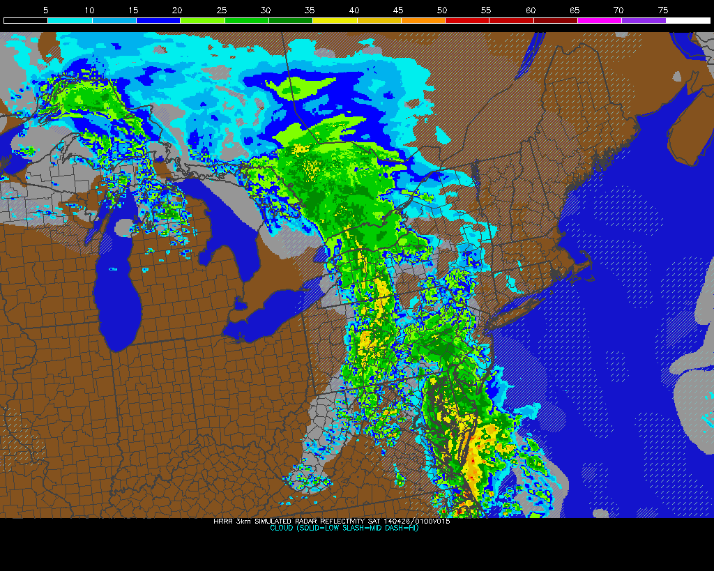
Widespread flooding rains occurred on Wednesday as a significant plume of tropical moisture surged northward along a frontal zone, which was draped near the area. Heavy rain “trained” northeastward from the Mid-Atlantic states towards New Jersey, New York City and parts of Southern New England. Rainfall amounts over 4″ were widespread, especially in parts of Central and Northeastern New Jersey. The result of prolonged heavy rain was widespread river, creek and poor drainage flooding which resulted in some property damage and a significant amount of road closures.
The rainfall, in fact, was as prolific as it seemed. The 4.97″ which fell at New York City’s Central Park was the 10th highest daily rainfall total in the reporting stations history, and the 2nd highest during the month of April. The 7.85″ which fell during the month of April made it the 6th wettest April in the reporting stations history.
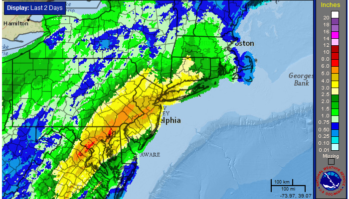
24 Hour radar estimated rainfall totals, courtesy of the National Weather Service.