-2")
Severe weather outbreak possible in the Midwest today
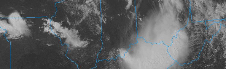
Severe weather season is kicking up, and today could feature a dangerous outbreak of storms over the Midwest and North/Eastern Plains states toward parts of the Mississippi River Valley. The Storm Prediction Center has issued a large “Moderate Risk” for severe thunderstorms in those areas, the second highest risk category they use (only High Risk denotes a greater potential), with the potential for widespread damaging wind gusts and strong tornadoes.
A large high pressure ridge, currently situated over the Central United States, is slowly shifting eastward. But, more notably, the high pressure dome is serving as a highway for severe thunderstorm formation on its northern edge. Along the periphery of the ridge, atmospheric disturbances have been sliding east and then southeast from the Northern Plains into the Mississippi Valley. These disturbances are acting to force thunderstorm development within an incredibly unstable and supportive environment for severe thunderstorms.