A few showers tonight, cooler weather will follow

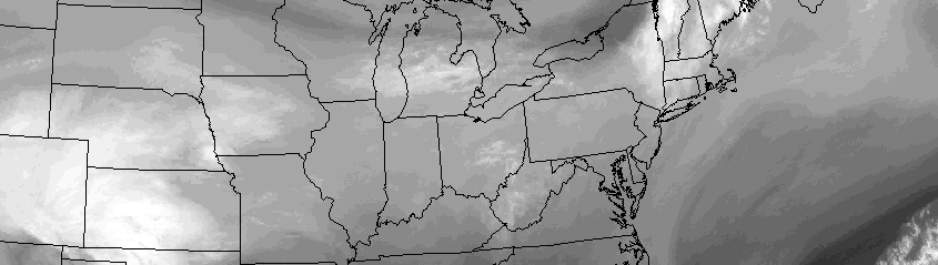
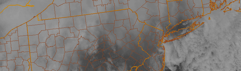
High clouds are streaming into the area this afternoon ahead of a low pressure system, which is located well to the west-northwest of our area. The associated cold front, however, will sweep through the Northeast States later tonight into early Sunday. After a generally pleasant Saturday, a period of unsettled weather is likely from Saturday Night into early Sunday morning, with moisture pooling along the cold front and aiding in the development of showers throughout the area.

This front will eventually swing east of the area by later on Sunday morning. Behind it, another shot of cooler air will make its way through the Northeast states. Mid level temperatures will drop by several degrees, and northwest winds will begin in earnest. But this won’t occur fully until later on Sunday evening — and so despite the cooling occurring in the mid levels of the atmosphere, high temperatures will end up being quite pleasant. After the showers on Sunday morning, in fact, temperatures will reach into the mid 60’s with abundant sunshine.

Read more

Patricia becomes strongest hurricane ever in satellite era

Hurricane Patricia, located in the Eastern Pacific and in the midst of a catastrophic turn toward Mexico, strengthened this morning, becoming the strongest hurricane on record in the Western Hemisphere. With maximum sustained winds of 200 miles per hour, gusting to 245 miles per hour, and minimum central pressure of 880mb, Patricia is also the strongest hurricane since the satellite era began.

The incredible hurricane has strengthened dramatically — at a near record breaking pace — over the past 24 to 48 hours. The hurricanes maximum sustained winds increased 100 knots within a 24 hour period from 4am CDT on Thursday to 4am CDT on Friday. This morning, Patricia strengthened additionally, becoming the strongest Hurricane ever measured within the National Hurricane Center’s area of responsibility.

Read more

Cooler, but still pleasant weather this weekend

In response to warm southerly winds and a mid level atmospheric ridge, temperatures on Wednesday rose into the 70’s throughout much of the area. Temperatures on Thursday will behave similarly, rising again into the mid 70’s in many areas. Southerly winds will continue and, for the time being, the mid level atmospheric ridge will remain over head. But the pattern — in case you haven’t noticed, with below freezing temperatures on Monday — is transient, and the warm temperatures will be scoured out by a cold front by Friday.

Not all is lost, however. After a few showers late Thursday into Friday morning, cooler air in the mid levels of the atmosphere will move overhead, and the wind direction at the surface will turn more west/northwesterly. But pleasant conditions are expected to continue. High temperatures will be notably cooler on Friday than they were on Thursday, but the weather will remain pleasant — a trade off that most of us will surely take, this time of year.

Read more

Classic ‘Indian Summer’ will warm up the area midweek

The bitter cold temperatures which caused a hard freeze in much of the area on Monday morning are a distant memory, for now. Temperatures during the middle of the week will warm up into the mid 70’s, as a mid and upper level atmospheric ridge builds throughout the area. Southerly winds at the surface will draw warmer, slightly more humid air into the area by Wednesday and Thursday. While temperatures will obviously be a bit cooler near the coast, the air will feel downright balmy compared to what we experienced earlier this week.

The warmth will be driven, as mentioned, by a building mid level atmospheric ridge. Southerly winds, even this time of year, can help to advect in very warm air. This week will be no different. Occurring after the first hard frost freeze, the warmer temperature and southerly winds are a classic ‘Indian Summer’, which by definition occurs “as the thunderstorms and severe weather of the summer give way to a tamer, calmer weather period before the turbulence of the winter commences,” per the National Weather Service.

Read more