Transitional weather will continue this week

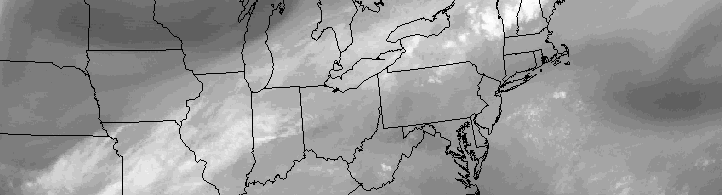
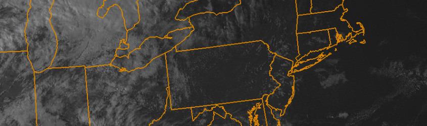
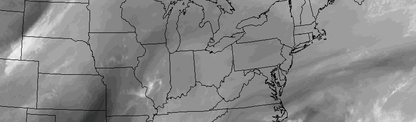
A pleasant weekend, in the wake of a cold front which brought heavy rain and thunderstorms to the area on Friday, brought comfortable temperatures and lots of sun. This trend will continue through the early part of the week, on Columbus Day, with temperatures moderating quite a bit. Highs will reach into the 70’s once again as southerly winds return to the forecast.

These southerly winds will increase through Tuesday, as a mid level atmospheric disturbance begins to swing toward the area from the North Central Plains. Forecast models had previously suggested some chance that this disturbance could become entrenched in our area, bringing unsettled weather and rain chances this week. But it appears likely that the disturbance will instead remain progressive, with a cold front crossing the area on Tuesday afternoon.

Read more

Heavy rain, thunderstorms transition into crisp weekend

Southwesterly winds have ushered in a warmer, more humid airmass this Friday morning. Temperatures are running in the mid 60’s throughout the area with low clouds and fog in the valleys and even some of the higher elevations of Northern NJ and Southeast NY. The southwesterly flow will continue to build into Friday afternoon, ahead of an approaching cold front. The warmer, more humid air will lead to increasing atmospheric instability by later this afternoon.

This instability, expanding from Southeast Pennsylvania into New York, will briefly align with favorable atmospheric shear parameters as a cold front approaches from the west this afternoon. In this area, a few strong to severe thunderstorms are likely moving from west to east through New Jersey, Southeast New York, Connecticut and potentially the NYC Metro Area.

Read more

Draconid meteor shower peaks tonight, storms tomorrow

While the focus usually remains set on the “bigger” meteor showers of the year (see: Perseids), the Draconid meteor shower is drawing some additional attention this season, mostly due to the anticipated favorable weather conditions. The annual meteor shower produces, on average, between 10 and 20 meteors per hour during its peak intensity. The peak of the shower occurs from tonight, October 8th, through Friday morning, October 9th.

Weather conditions are expected to be favorable for viewing — at least for the first several hours. While a frontal system will be approaching late, the peak of the meteor shower actually occurs during nightfall and the early evening hours. This is somewhat atypical, as most meteor showers feature pre-dawn peaks, making viewing less ideal for those who can’t set the alarms for 3:00am. Tonight, the timing and weather conditions look good, so we suggest heading outside and away from the city lights if you have some time.

Read more

Colorful clouds could appear tonight after NASA rocket launch

NASA will launch a sounding rocket from it’s Wallops Island, VA facility tonight, and the result of intentional testing after the rocket deploys could bring a colorful cloud into the night sky from Virginia to Long Island.

Between 7 and 9pm (no specific time has yet been set), NASA will launch the suborbital rocket. Approximately 6 minutes after launch, the sounding rocket will deploy four sub-payloads containing “mixtures of barium and strontium”.

Read more