Light accumulating snow possible today and tonight

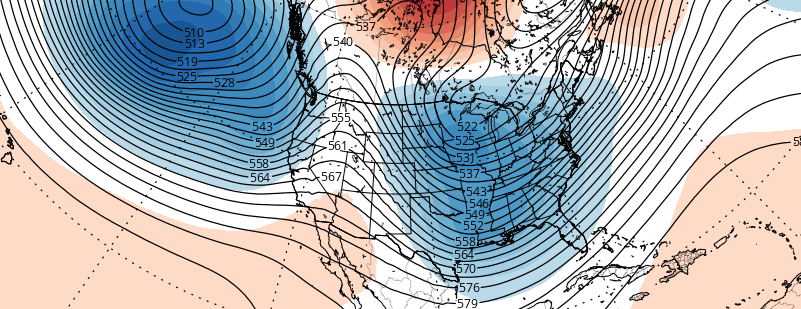
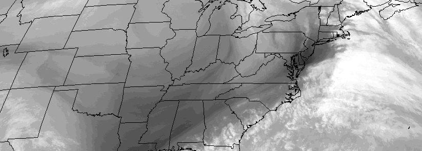
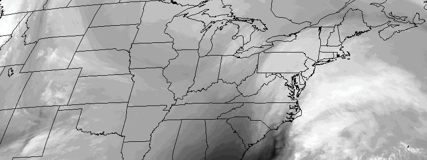
It appears this weekends coastal storm has a few more tricks up its sleeve. After forecast models indicated the storm had a chance of significantly impacting the area, the trend was decidedly seaward over the past few days. The past 24 hours, however, have seen a steady trend northwestward with the precipitation shield, enough to offer up impacts for our area later today and tonight.

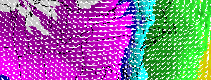
While the center of low pressure will pass hundreds of miles to our south and east, light precipitation associated with the storm system – and the overhead trough – will spread northeastward from the Mid Atlantic into our area today. Thermal profiles will support snow, albeit light, after the atmosphere moistens up enough so that precipitation can reach the ground. Initially, radar may show precipitation, but dry air will win the battle and prevent steady snow.

Read more

Despite two disturbances, winter weather unlikely this weekend

In our previous article, we discussed some of the features in the upcoming hemispheric pattern that could support a winter weather event. These features were particularly evident during the period from January 16th to 20th. As we have gotten closer to this time period, forecast models have come into much better agreement on exactly how these features will evolve.

Read more

Winter returns this week, snow possible Tuesday

It has been an active Sunday throughout the area, with heavy rain, winds, coastal flooding and thunderstorms. A cold front will push through the region this evening, ushering in much colder air both aloft and at the surface. Skies will turn mostly clear overnight, as high pressure builds into the area. Most notably, strong westerly winds will be the driving force in pushing the colder airmass into the area. Temperatures will quickly fall into the 20’s and 30’s by sunrise, with winds gusting as high as 40 miles per hour.

Read more

Rain and wind likely Sunday, winter arrives next week

High pressure over Eastern Quebec will cause cold air damming over the region tonight, with cold air funneling toward our area. A mid level shortwave and weak warm front are on their way by Saturday morning, however, with the first light round of precipitation ahead of a significant storm system.  As this disturbance approaches our area, some very light snow, sleet, and freezing rain is expected across the interior and higher elevations. Temperatures there will be hovering below or near freezing — causing the potential for slick roads.

A deepening storm tracking over the Eastern Great Lakes will send a stronger warm front — and then  a cold front — through the region late Saturday night and Sunday. Lifting will be aided by a strengthening southeasterly low-level jet and precipitable water values between 1.00 to 1.50″.  This will cause periods of rain starting late Saturday night, becoming heavy at times during Sunday morning and early afternoon.  An isolated thunderstorm can’t be ruled with elevated instability.

Read more