Public Analysis: Unusual Febuary Warmth, Unsettled Saturday

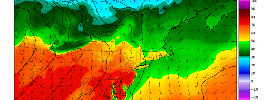
Another very warm end to the work week is on tap with temperatures leveling off on Saturday as a cold front moves through the region and provides a chance for some much needed precipitation for the area.

After some overcast and lingering sprinkles this morning that moved over the Lower Hudson Valley and Long Island, the associated  overcast and showers have eased up enough to allow for temperatures to reach into the 50’s across much of the area this afternoon. With just middle to high level cloud cover persisting the rest of the afternoon, the Metro area should continue to see temperatures rise into the 50’s, with even some 60 degree readings possible in the southern half of New Jersey. As a very weak mid level disturbance dissipates while it quickly moves off to the east this evening, high pressure centered over the Atlantic will remain in control of our weather as we head into the evening and will help to provide a very light southerly flow. This southerly flow may introduce some moisture at the lower levels of the atmosphere very close to the surface that could produce areas of fog. The fog may reduce visibilities quite a bit in some locations, so use caution if driving. Otherwise, temperatures this evening will drop down into the 30’s for inland sections, and into the low to mid 40’s for the coastal areas which is just about average for this time of year.

Read more

2/22 AM All Zones: Warmer Temperatures…T-Storms With Heavy Rain Possible Saturday

More unseasonable mild temperatures return again today with rising mid-level heights and southwest winds. Low clouds this morning, will break for some sunshine this afternoon with temperatures rising into the upper 50s to lower 60s over many parts of the region.

It will remain mild into tonight. Low temperatures with a southwest flow will only be lower to middle 40s near the coast and upper 30s inland. Some low clouds and patchy fog could also develop later tonight into early tomorrow morning.

Read more

Threat Analysis: Northern Plains/Lakes winter storm this week

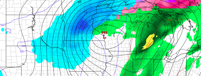
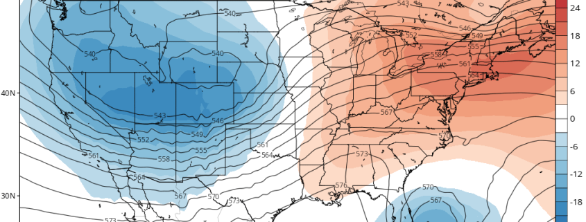
A potent disturbance is forecast to eject eastwards from the Pacific Ocean this week, reaching the Western United States and eventually moving northeastwards towards the Rockies during the middle of the week ahead. Meanwhile, northern stream energy (associated with the colder, northern jet stream) will be sliding across the Southern parts of Central Canada, just north of the international border. This reinforcing cold air, combined with the disturbance ejecting from the rockies, will lead to the potential for a winter storm in the Northern Plains and Great Lakes late this week.

A low pressure system will eject from the Central Rockies into the Plains states from midweek onward — essentially from Thursday into Friday. This low pressure area is expected to strengthen as it moves through parts of the Central Plains (Nebraska and Kansas) north-eastwards towards Iowa. Forecast models have struggled to pin down exactly where the low pressure center will track, which has led to considerable forecast uncertainty.

Read more

2/21 AM All Zones: Record Warmth Possible Thursday, Stormy Saturday?

Temperatures today will again be several degrees above normal for this of year. But some mid-high level clouds increasing out ahead of warm front approaching will likely keep highs a little lower then yesterday, in upper 40s to lower 50s.

Mostly cloudy skies are expected tonight, as the warm front and shortwave trough move through. Lift and moisture become more limited as they run into the upper-level ridging. But a few scattered light rain showers are still possible, especially northwest of NYC. Temperatures will likely only drop into the upper 30s to lower 40s tonight.

Read more