NYC Area Forecast: Beautiful weekend, heat returns next week

Ah, Friday morning. Windows open, the sun shining through your window. Birds are chirping and you hear the calm, serene sounds of summer as you make your way to grab your morning coffee.

Okay, that’s probably not how anybody’s morning went (and if it did, cheers to you). But at least the weather was cooler and much less humid – and perhaps your windows were open. We’ve got plenty of sunshine for you this morning – it’s here, and it’s lovely.

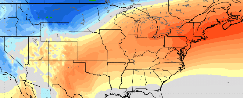
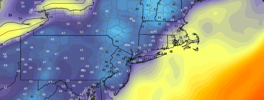
Temperatures today in the Northeast will average several degrees below normal. It will still reach into the lower 80’s in the New York City area, but with dew points so much lower than they have been over the past several weeks, the airmass will continue to feel downright refreshing. No risk of showers today, only a few fair weather clouds are anticipated. It’s about as close to a 10/10 day as you can get in August.

Read more

NYC Area Forecast: Autumn air arrives, won’t be here for long

If you stepped outside this morning, you’d have noticed a major change in the airmass overhead. Dew points have fallen from the 70’s into the 50’s, and will continue falling throughout the afternoon as northwest winds usher in cooler and drier air. This is likely a welcomed change after several weeks of very high dew points, heat and thunderstorm chances.

Over the next two days, temperatures are expected to average near or below normal in the NYC Area and much of the Northeast states. Northwest winds will keep the air cooler and dry, with the airmass feeling more like Autumn than late summer. That’s the good news.

Read more

NYC Area PM Update: Unsettled evening, shot of Autumn air awaits

It’s been nice this week, with lower humidity and minimal rain chances since Monday – owing mostly to a high pressure that has filtered southward from New England. The reign of this lovely high pressure will end this afternoon (it has already ended, if you haven’t noticed the clouds) and another disturbance will approach the northeast states. A warm front is already moving northward from the Mid-Atlantic states as we speak — err, type.

Some of the thunderstorms developing near and along the warm front have been strong and severe this afternoon, acting upon weak to moderate atmospheric instability. This threat will continue for a few more hours into Southern New Jersey. We always advocate for being careful along warm fronts – they create extra low level shear in the atmosphere that can sporadically strengthen storms. So we will be watching!

Read more

NYC Area Forecast: Ridiculous dew points take a break (for now)

For what feels like weeks on end, dew points have averaged well above normal and temperatures in the 80’s and 90’s have made the airmass feel oppressive in and around the NYC Metro Area. Such was the case again over the past few days, with warm and moist air in place over the weekend. Showers and thunderstorms were commonplace once again, with many areas receiving several inches of rainfall.

The weather pattern which brought us weeks of humid air looks likely to take a temporary hiatus this week – but it’s not going away for long. Although humidity levels will drop over the next few days, the pattern will remain transient, and there are already signs of the return of heat in 7 to 10 days time. Here’s how we expect things to shake down:

Read more