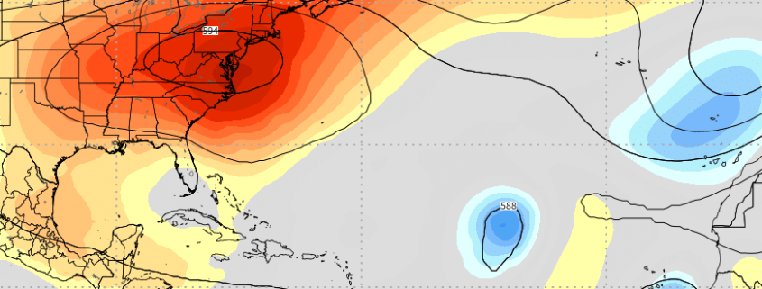
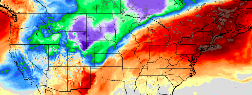
PM Update: Heat continues, to be followed by more heat

Temperatures soared into the middle and upper 90’s today throughout the New York City area and, in fact, a large majority of the Northeast states. The heat was good for some records during the day (daily record at Islip, NY) and at night (many record warm overnight low temperatures were set). The temperature wasn’t even the real issue with the uncomfortable air – it was the dew point, which hovered in the low to middle 70’s.

Not much improvement is expected through the evening. Temperatures will remain very warm and dew points will remain very high, leading to another uncomfortably warm evening. Through tonight, a blend of weather models suggests the temperature will only fall into the upper 70’s or lower 80’s in and around the New York City metro area, which suggests record warm overnight low temperature records will be broken for the day again.

Read more

Ridge over troubled waters: Tropical Atlantic ready to wake up

It has been a long, quiet summer. While heat and humidity have been recurring forecast themes in the Eastern and Central United States, the weather pattern throughout the tropical Atlantic has remained stagnant, if not dormant. There have been a myriad of factors that have contributed to a very quiet start to the season in the Atlantic – ranging from Saharan dust to anomalously cool sea surface temperatures and everything in between. Over the next week or two, however, the pattern is set to change and the implications could be notable.

The 2018 Atlantic hurricane season got off to a fast – and in retrospect, ironic – start with Alberto on May 25th. There have been a few other storms that have meandered around since then (the most notable being Hurricane Chris) but the season has thus far been sporadic at best. It can be more accurately defined as unusually quiet. The weather pattern in place has been arguing vehemently against the development of any tropical cyclones in the Atlantic, specifically in the MDR (Main Development Regions). Sinking air, Saharan dust, and unfavorable wind shear have all been major contributing factors, and unusually cold sea surface temperatures have made the environment even more hostile. 30-Day Accumulated Cyclone Energy (ACE) was running near or below the 25th percentile.

Read more

NYC Weekly Planner: Hot hot heat, humidity and storms

Welcome back to summer. After a few glorious days of temperatures in the 80’s and low dew points, the southerly flow is back – and it is bringing warmer, more humid air with. High pressure remained in control for most of the weekend, which was undoubtedly a nice change. But clouds have increased this evening and will continue building through the overnight. There may even be an isolated shower or two tonight.

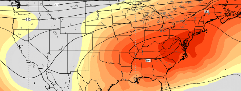
The real change comes on Monday, as the advection of a very warm airmass truly begins. A large ridge will build into the Northeast in the mid and upper levels of the atmosphere, helping to push in the warmer airmass. High temperatures are expected to reach into the upper 80’s, but dew points will increase notably and the airmass will feel much more humid. There is the chance for a few isolated showers or storms during the afternoon.

Tl;dr: Trending hotter Monday, hot as all ever-loving heck on Tuesday, Wednesday and Thursday, storm chances increasing from Thursday into the weekend with the potential for lots of storms Friday and Saturday. 

Read more

Beautiful weather continues, until it doesn’t

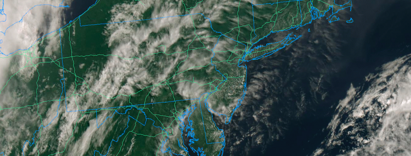
High pressure is providing a large majority of the Northeast states with beautiful weather conditions today – even despite the presence of some mid and and high level clouds. Low dew points and low relative humidity values have kept the air quite comfortable, and a warm late-August sun has kept the summer-like feel in the air. It’s a classic beach, pool, or backyard day and quite frankly, not one that we often see in the dog days of summer where humidity and storm chances often rule the forecast.

While the pleasant weather is expected to continue into Sunday, the unfortunate truth is that the weather will snap back to reality, and a little bit beyond it, as we approach the beginning of next week. A trough that has been overhead for the past few days, providing the cooler weather, is already on the way out and a ridge will replace it. As the low and mid level winds change, a new airmass will enter the picture – and it will not be as pleasant as the one we are experiencing now.

Read more