Heavy Rain & T-Storms Late Tonight into Wednesday, Warmer Times Ahead?

We have had some very nice weather, since the weekend in the Northeast. Plenty of sunshine with temperatures a little cool but overall closer to seasonal levels. But some very wet weather is on the way for tonight and tomorrow, before weather pattern begins improving again for the rest of this week and into the upcoming weekend. Then finally, a warming trend with some more summer-like temperatures will be occurring next week and as move into first few days of May.
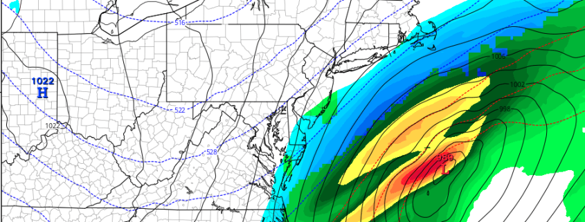
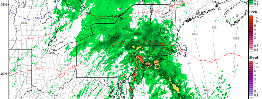
Backing up to today, sunshine this morning will give way more cloudiness this afternoon, as a cut-off low over the Tennessee Valley this morning begins moving slowly northeast. Onshore easterly winds and cloud cover, ahead of this system will keep high temperatures a little cooler today—in the middle to upper 50s near the coast. But further inland temperatures will likely get into the 60s again this afternoon. Then rain will overspread the region from southwest to northeast tonight, as the cut-low begins interacting with shortwave energy coming out the Great Lakes and moves closer to region. Temperatures will likely remain warmer in the upper 40s to middle 50s with more onshore winds and cloud cover.

Read more

Unsettled Weather into Saturday, Snowstorm Threat Decreases

Good morning! It’s been very active since the first week of March, with high-latitude blocking and anomalously cold air resulting in late season snowstorms for the Northeast states. April 2018 will wind up being one of  the snowiest for many of the local climatology sites. However, it appears that we might be getting a break (finally) with the next few storm systems this weekend and early next week developing over the Eastern US. Read more

Beautiful weather today, potential increasing for snow Monday

Happy Saturday!

Weekend Weather Rating | 7/10

Saturday should start off nice and clear, but chilly across the Northeast as and area of high pressure takes control of our weather. Conditions should gradually warm up throughout the day tomorrow with clear skies and southerly winds developing. This should allow temperatures to warm back up into the lower to middle 50’s across much of the New York metro area, with middle to upper 50’s likely over portions of the Mid Atlantic. Clear and dry conditions look to persist throughout the entirety of the day, so tomorrow will likely be an excellent day to go outside and enjoy the day! High pressure will continue to gradually move offshore tomorrow evening, but will still supply the region with enough warm air from the south to keep temperatures from dropping too low. Lows should be in the upper 30’s to lower 40’s for the area, with middle 40’s likely over portions of southern New Jersey.

Read more

A Spring Snowstorm in the Northeast? It’s not out of the question

On the morning of March 22nd, many people in the NYC area were digging out from over a foot of snow. Even as the last flakes floated down from the sky, the familiar Spring sound could be heard: Drip. Drip. Drip. The snow was quickly melting, and after a series of four Nor’Easters had impacted the area in March, most of us were thinking that winter was finally over.

We have some bad news.

A good look at the upcoming pattern in April tells us that it is not over and in fact, there is a good chance that we will be tracking snow threats in the first ten days of April.

Read more